Loading…
Careers · Space
Turns satellite imagery into an answer about what is actually happening on the ground.
The work
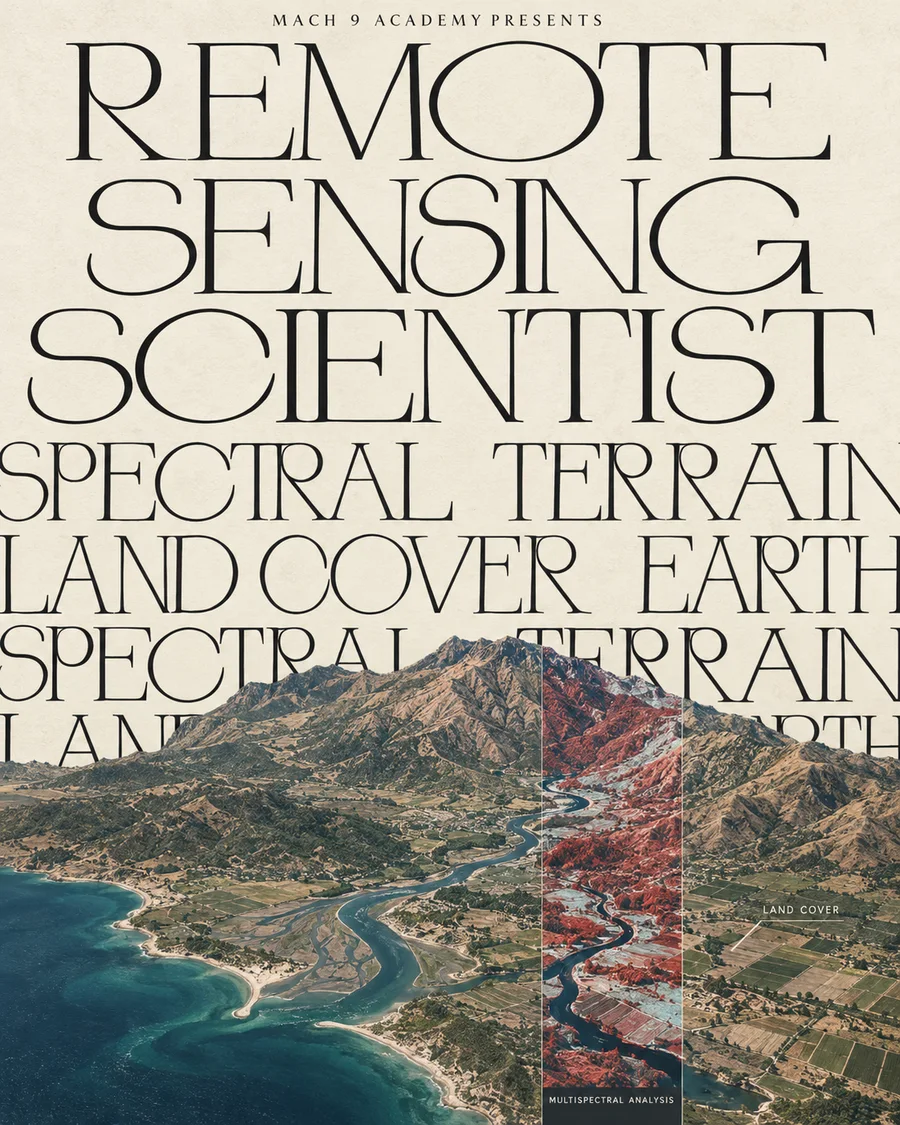
Satellites see the whole planet on a schedule, in wavelengths well beyond what an eye can, and remote sensing scientists turn that stream of imagery and radar returns into something usable: a flood extent, a crop yield estimate, a wildfire perimeter, a measurement of how fast a glacier is moving. The work sits between the physics of how each sensor actually measures the world and the geographic information systems that turn a pile of pixels into a map somebody can act on.
A typical day
- 01Calibrate and correct raw satellite or airborne sensor data
- 02Build the processing pipeline that turns pixels into a measurement
- 03Validate results against ground truth wherever it exists
- 04Communicate a geographic finding to people who are not scientists
How people get in
- Geoscience or geography degree
Programmes with real remote sensing coursework, not just a GIS elective, are the strongest preparation.
How it unfolds
- DegreeGeoscience, geography or physics, with a genuine grounding in the physics of how sensors measure the world.
- Years 1-3Processing and calibrating imagery, learning what each sensor actually gets wrong and why.
- Years 4-8Owning an analysis pipeline that a real decision, agricultural, environmental or defence, runs on.
- LaterPrincipal scientist, or into mission design for the next generation of sensor.
Is there a job in it
- Employed now
- 14,700
- Projected change
- +7% by 2034
- Openings a year
- 900
Cartographers and Photogrammetrists · US Bureau of Labor Statistics, Occupational Outlook Handbook, May 2024 wages and 2024–34 projections.
The nearest published occupation, and it does cover satellite imagery and LiDAR work directly, but it is built around mapmaking generally. Remote sensing analysis for climate, agriculture and disaster response is a real specialism inside it, not a separate published line.
The hard parts
Raw satellite data is full of artefacts the sensor itself introduces, cloud cover, atmospheric distortion, calibration drift, and separating the real signal from the sensor’s own noise is most of the actual skill. The output often feeds a decision with real consequences (where to send flood relief, whether a crop will fail), so being wrong is not an academic problem.
What you would need
- Remote sensing physics
- GIS and image processing
- Statistics
- Programming
- Median pay
- $81,390
- Cartographers and Photogrammetrists, May 2024. US Bureau of Labor Statistics.
- Typical education
- Bachelor's in geoscience, geography, physics or a related quantitative field
- Routes in
- Degree
- Field
- Space